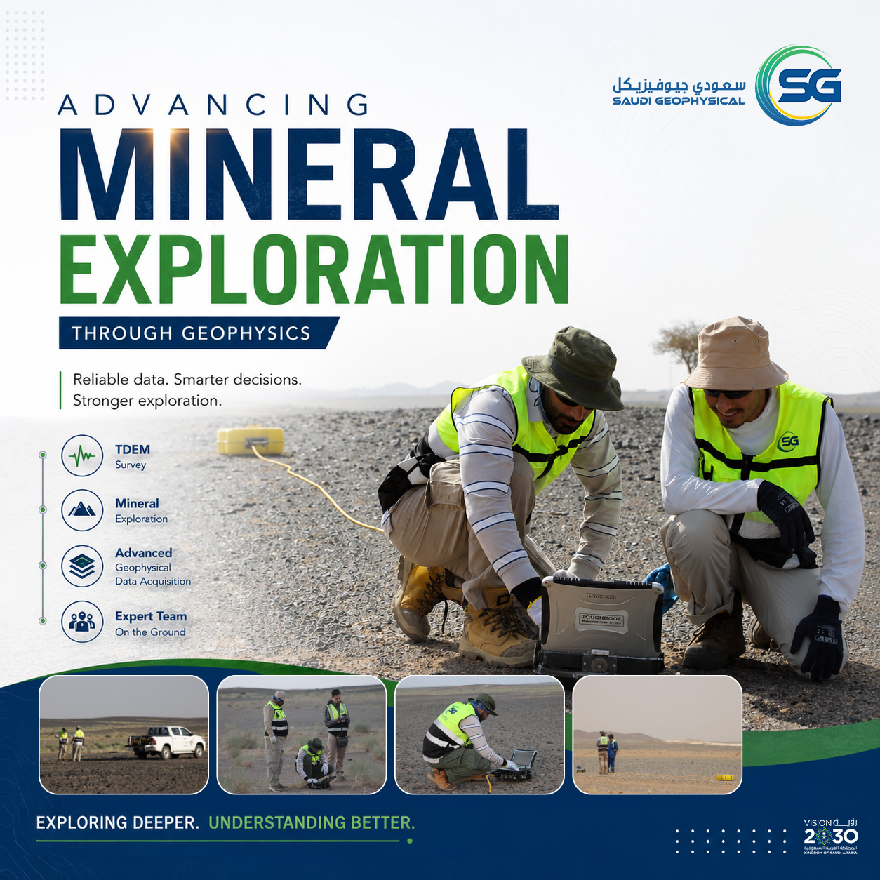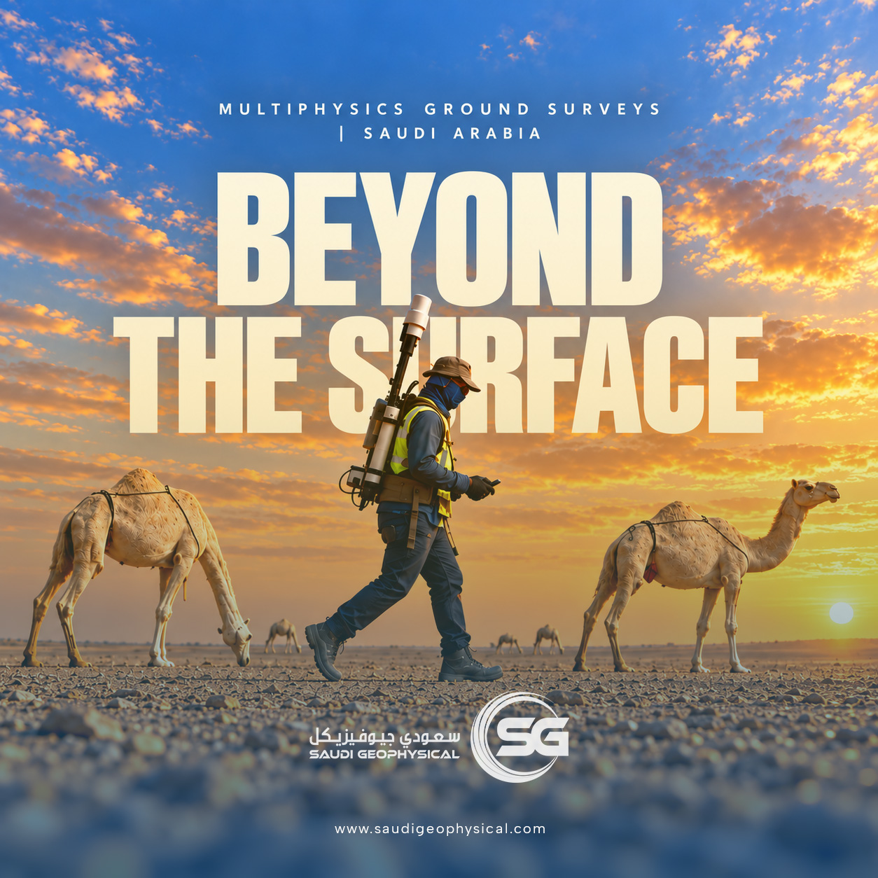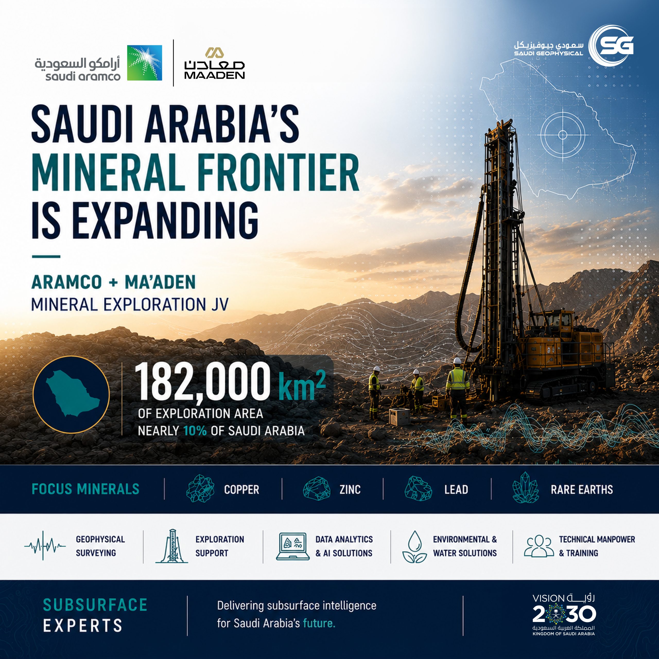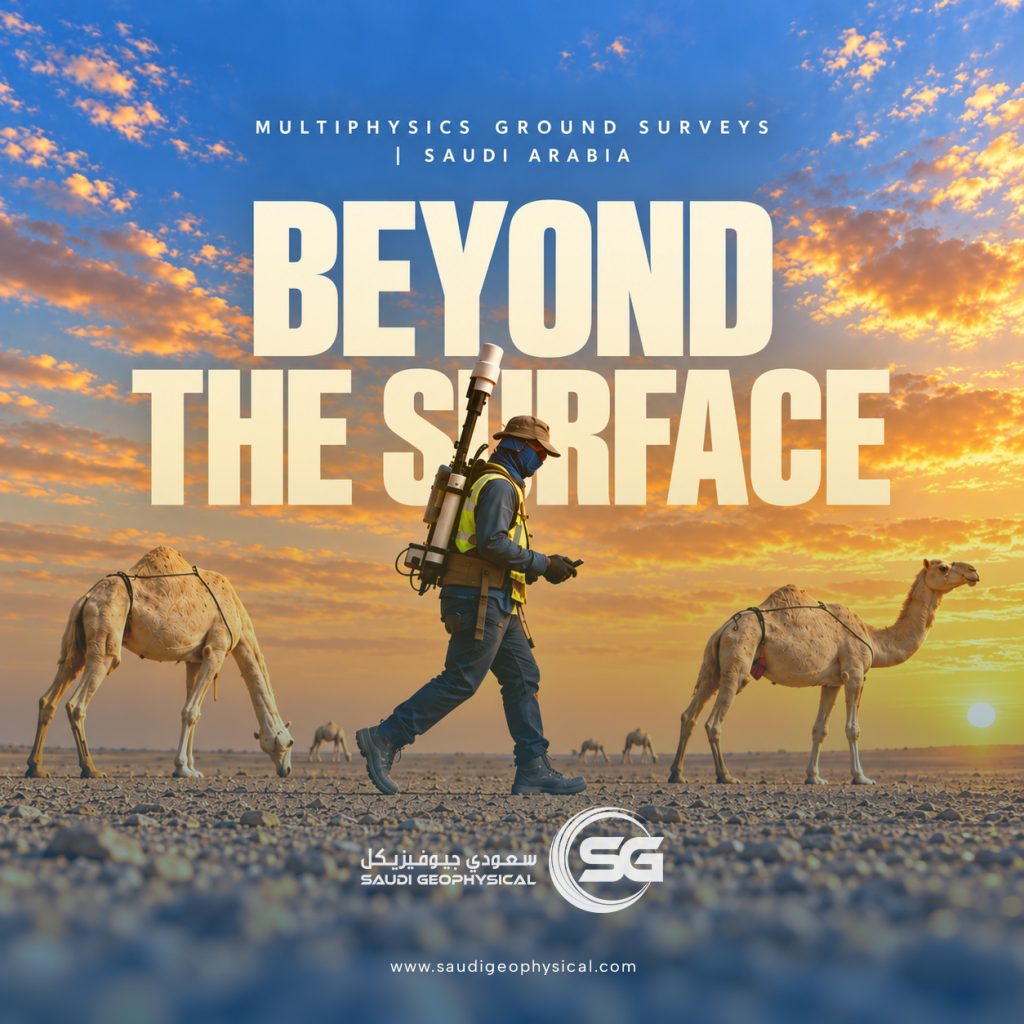
Saudi Geophysical’s teams are carrying out ground geophysical surveys across five different blocks in the Kingdom, using Magnetics, Gravity, Radiometrics, TDEM, MT, and IP.
Each method adds a different piece to the picture of what lies beneath the surface. Together, these surveys help build a clearer understanding of underground geology and support mineral exploration planning.
Behind every measurement are our field teams, carefully setting up equipment and collecting data across the survey areas.
#SaudiGeophysical #Geophysics #MineralExploration #SaudiMining #Fieldwork